Countryside, coast and a causeway
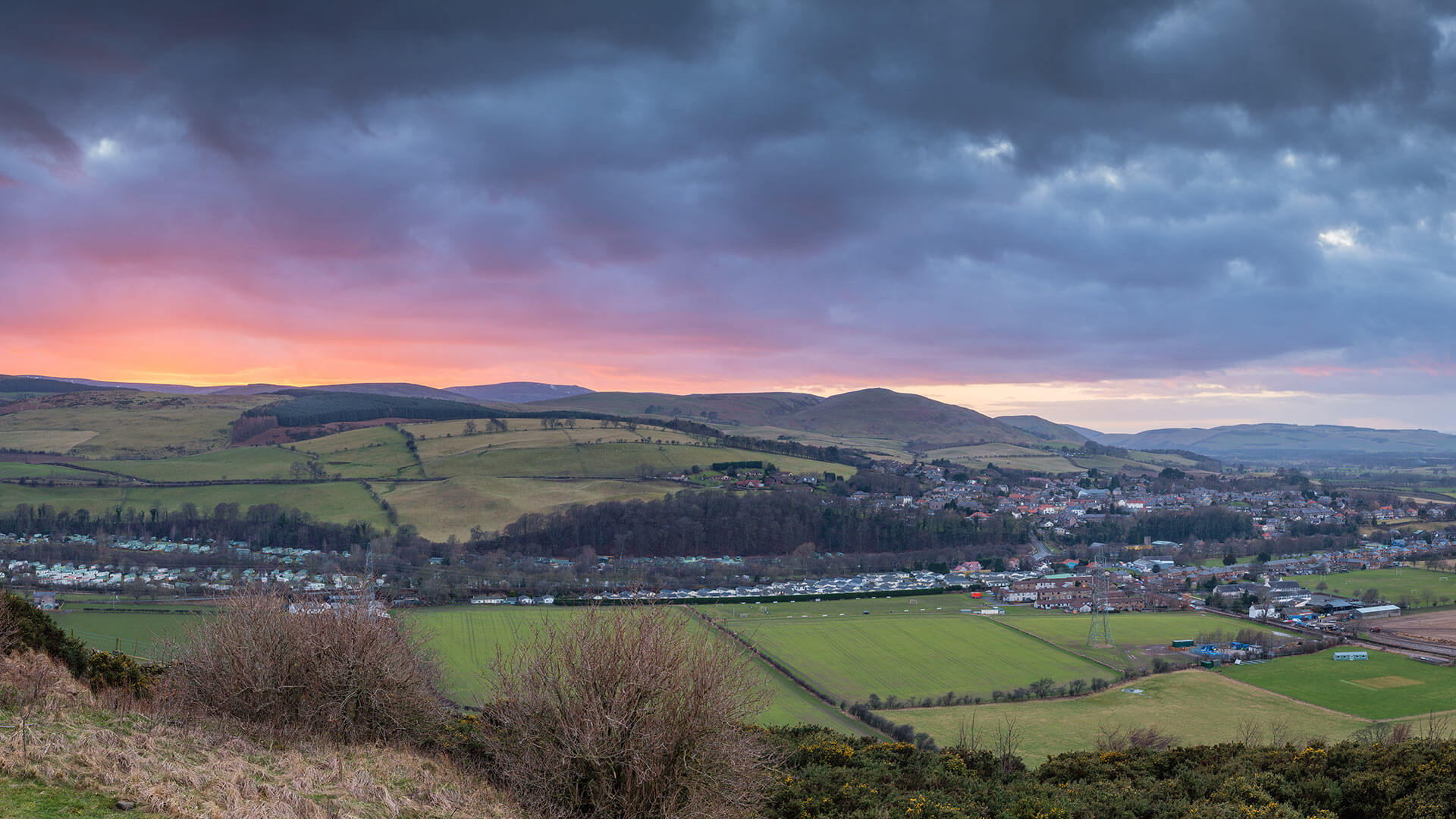
St Cuthbert’s Way starts in Melrose, in the Scottish Borders, and crosses into England over the border ridge. It then passes through Northumberland National Park, remote College Valley, the foothills of the Cheviot Hills and the banks of the River Till. It finishes along the Northumberland Coast Path and across the tidal causeway to Holy Island.
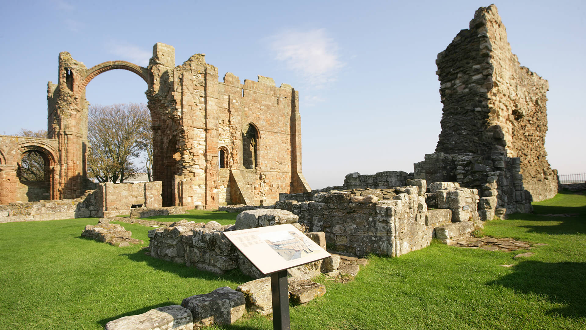
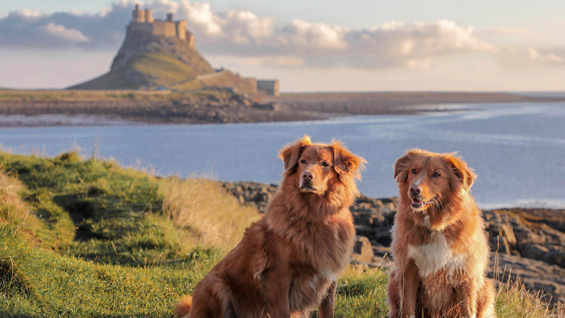
The 62-mile pilgrimage walk is one of the most varied long distance walks in Britain. It follows in the footsteps of St Cuthbert, a 7th-century saint and a native of the Borders who spent his life in the service of the church. He began his religious life at Melrose in 650AD, and the route ends at the Holy Island of Lindisfarne, where he served as bishop and was first laid to rest.
St Cuthbert’s Way at a glance
- Distance: 62 miles (100 km)
- Start and finish: Melrose Abbey in the Scottish Borders to Holy Island (Lindisfarne), Northumberland
- Time needed: most walkers take 4 to 6 days
- Accommodation: places to stay are limited along some stretches, particularly in the smaller villages and on Holy Island. Book your accommodation before you set off, especially between spring and autumn.
- Highest point: Wideopen Hill (368m), close to the route’s halfway mark
- Terrain: hill paths, farm tracks, riverside paths and quiet lanes, with some exposed upland stretches. Sturdy boots and waterproofs are essential.
- Waymarking: fully waymarked in both directions
- Connecting routes: the Pennine Way at Kirk Yetholm, plus St Oswald’s Way and the Northumberland Coast Path for the final stretch
- Tides: the final crossing to Holy Island is tidal. Always check Holy Island crossing times before you set out.
The St Cuthbert's Way walking route through Northumberland
Most walkers travel west to east, following Cuthbert’s journey from Melrose to Lindisfarne, but the St.Cuthbert's Way Pilgrimage walk works just as well in reverse. After climbing over Wideopen Hill, the trail passes through Kirk Yetholm and reaches the border ridge 2 miles (3 km) further east.
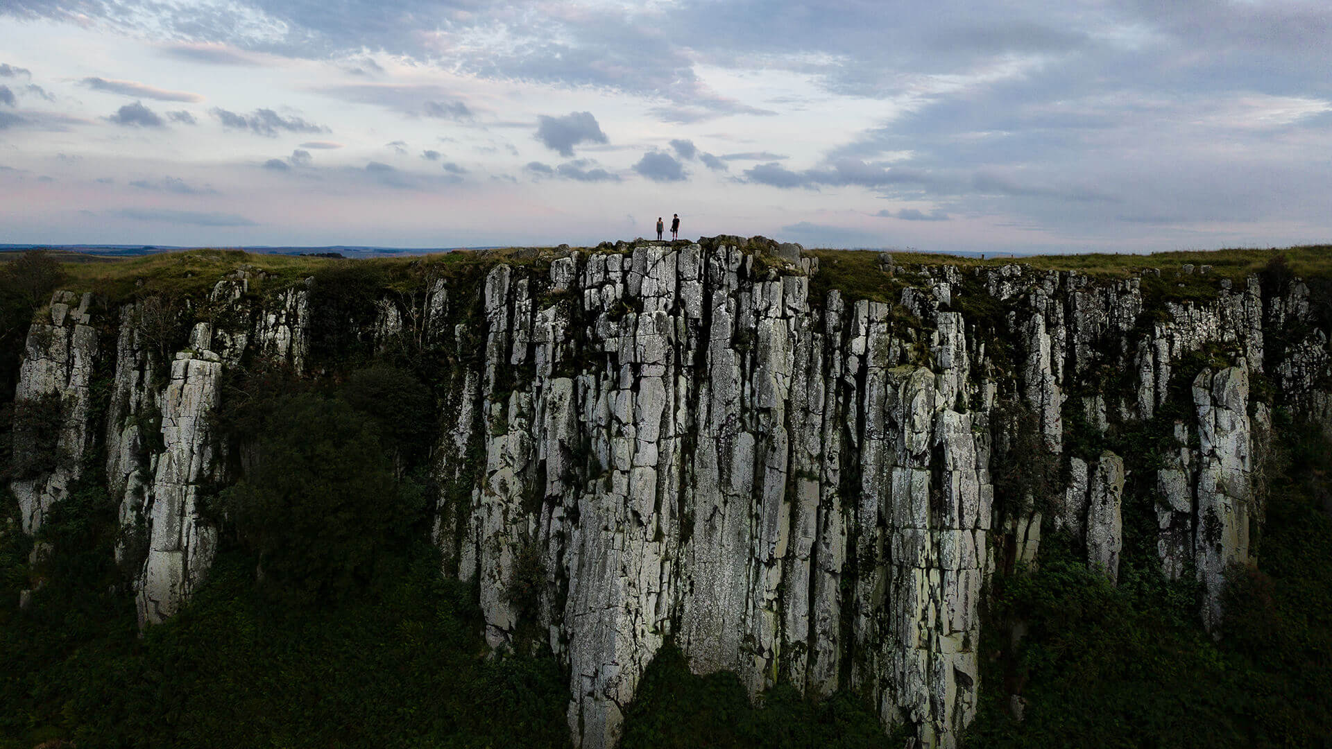
From there, it drops down through the National Park to the tiny village of Hethpool in the College Valley. The trail then climbs through the Cheviot foothills, passing just south of the Iron Age hillforts of Yeavering Bell and Humbleton Hill, before arriving in the market town of Wooler.
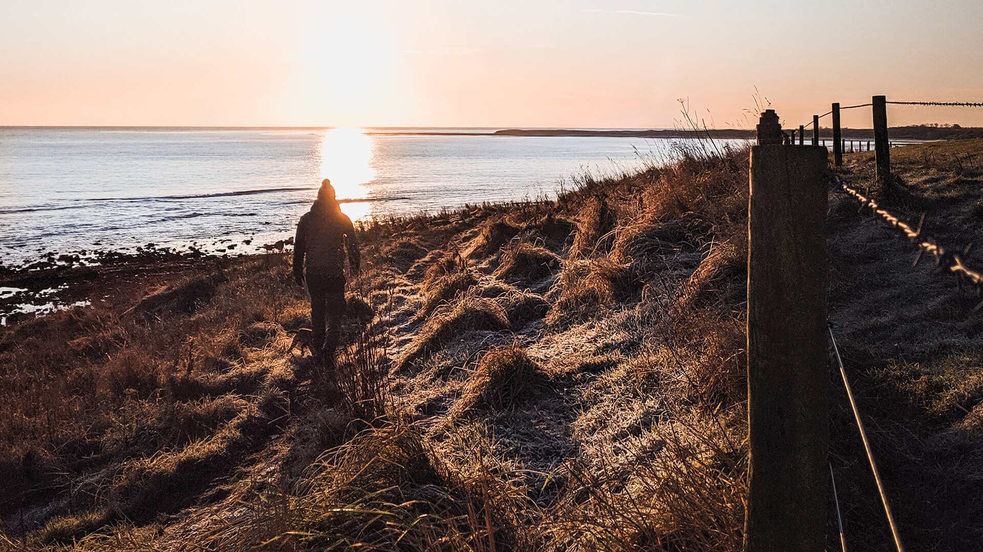
Beyond Wooler, the path heads up the valley of the River Till to the twin villages of West and East Horton. Farm tracks lead on to St Cuthbert’s Cave near Holburn, where legend says monks rested the saint’s body as they fled Viking raids. Here the route joins St Oswald’s Way and the Northumberland Coast Path, heading north through Fenwick to meet the coast just east of Beal.
Crossing to Holy Island
The final stretch of the pilgrimage across the sands to Holy Island of Lindisfarne can only be walked at low tide. You can follow the modern causeway road or the historic, more direct Pilgrims’ Way, marked by tall wooden posts. The crossing is covered by the sea twice a day, so check the Holy Island safe crossing times and plan your final day around them.
Planning your stay
Much of the route passes through remote countryside with only a handful of villages, so it’s worth planning each day around where you’ll spend the night. In Northumberland, Wooler makes a natural overnight stop, with a good choice of places to stay, eat and stock up. If you’re staying on Holy Island, time your arrival for a safe crossing and enjoy the island once the day visitors have gone. Several walking holiday companies can also book accommodation and arrange luggage transfer between overnight stops for you.
Getting there and back
The route is easy to reach without a car. To reach the start, take the Borders Railway from Edinburgh Waverley to Tweedbank, which is about 2 miles from Melrose. You can walk from there or catch a short bus into town.
At the finish, Berwick-upon-Tweed is the nearest mainline station, on the East Coast line between London, Newcastle and Edinburgh. A limited bus service links Holy Island with Berwick railway station on selected days. It runs around the tides, so times change from week to week. Check the latest timetable and the Holy Island crossing times together when planning your final day. For more help getting to and around the county, see our getting here guide.
For detailed stage-by-stage information, maps of the full St Cuthbert's Way walking route and route updates, visit the official St Cuthbert’s Way website.