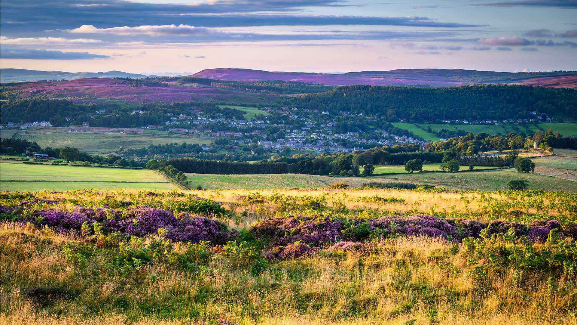
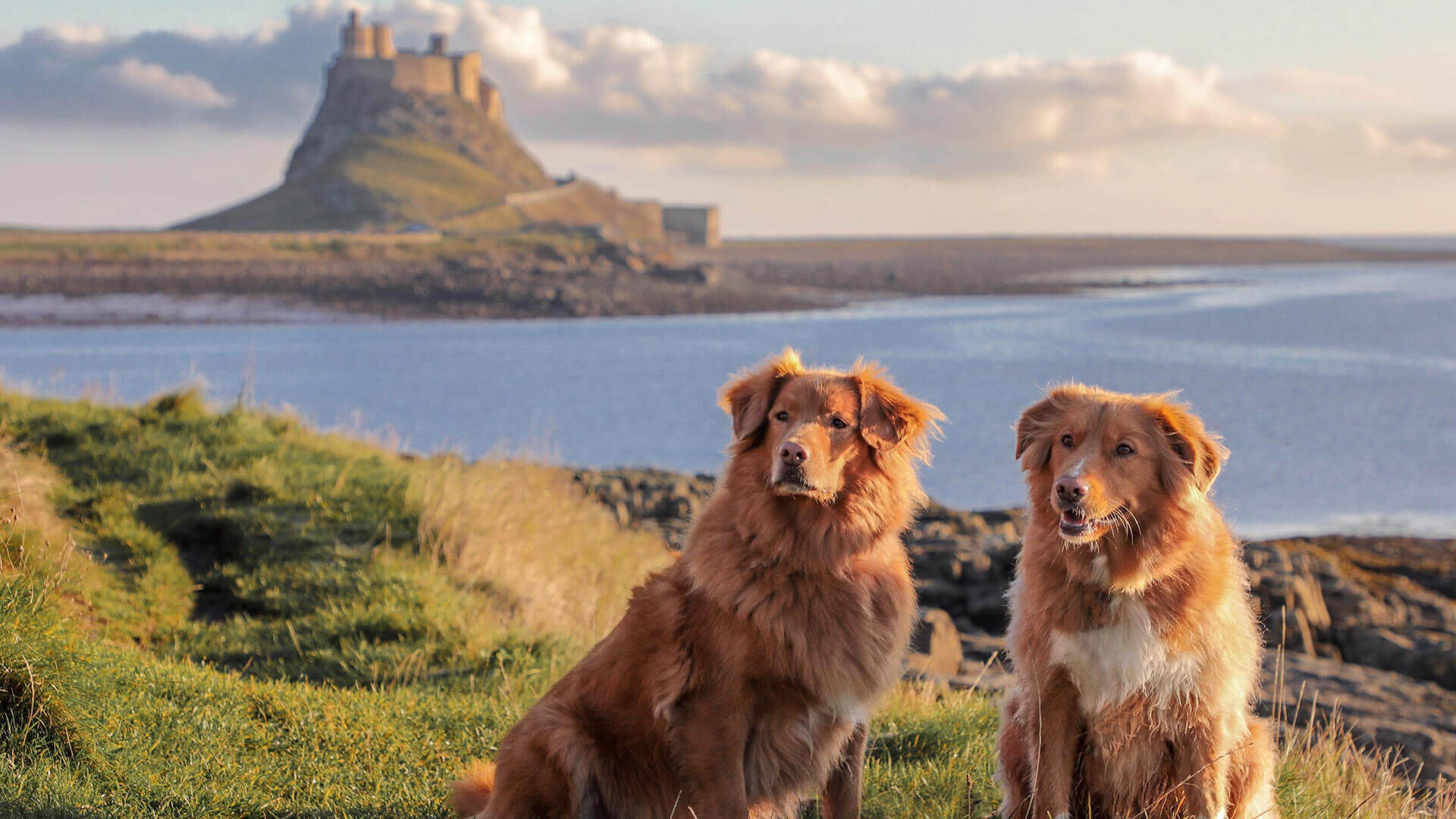
Explore outstanding landscapes
This magnificent route links places associated with its namesake - St Oswald - the King of Northumbria in the early 7th Century. He played a major part in bringing Christianity and peace to his people.
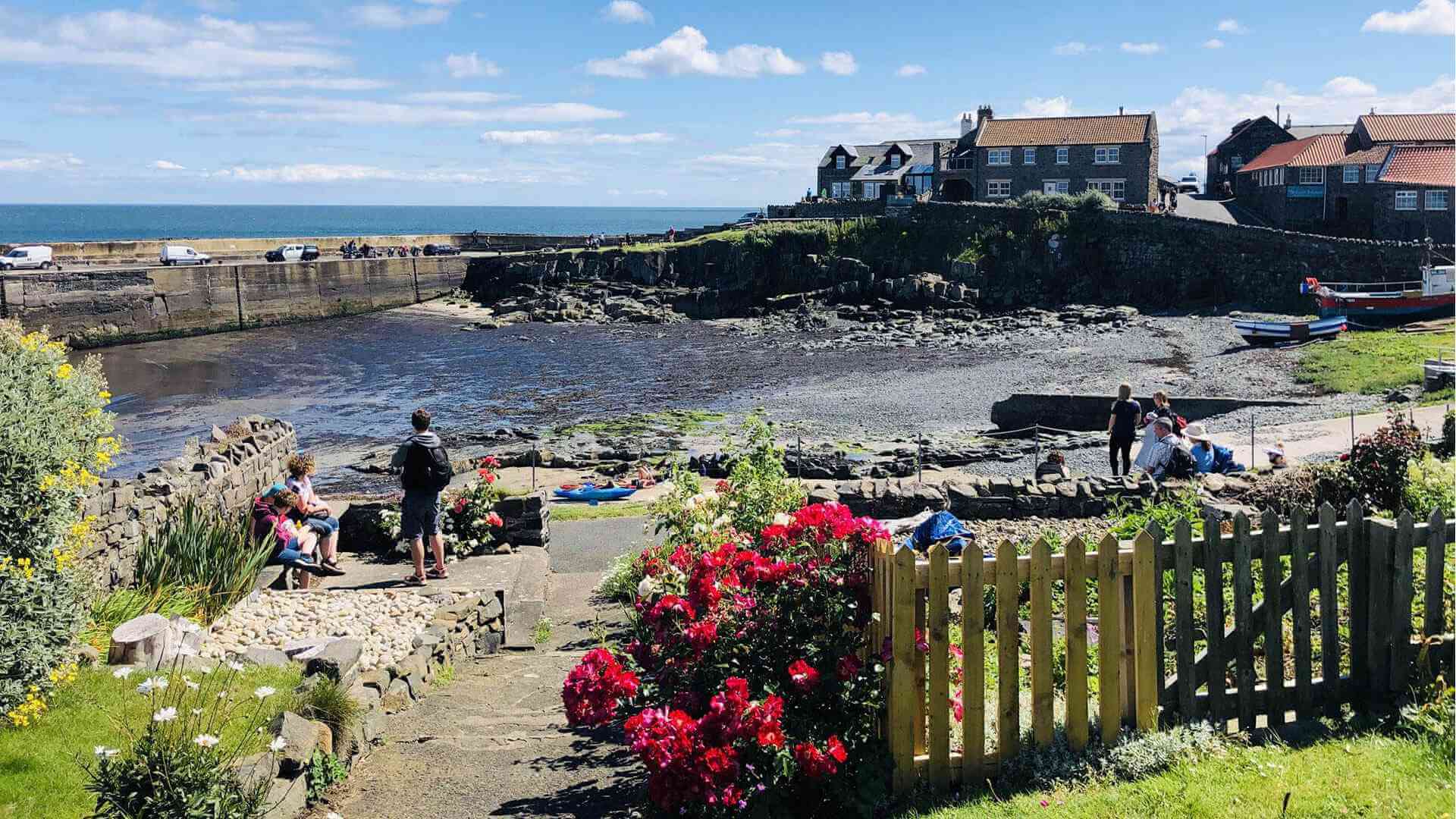
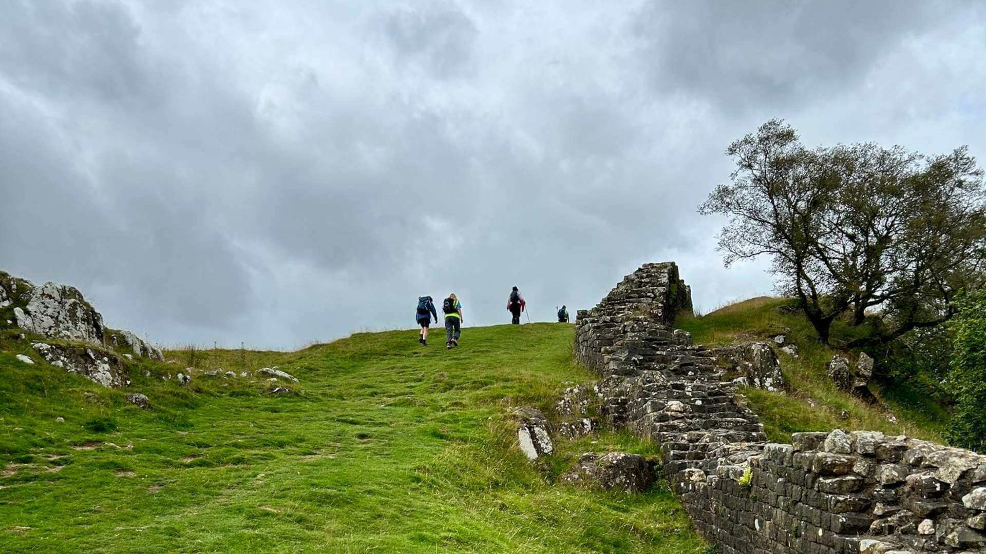
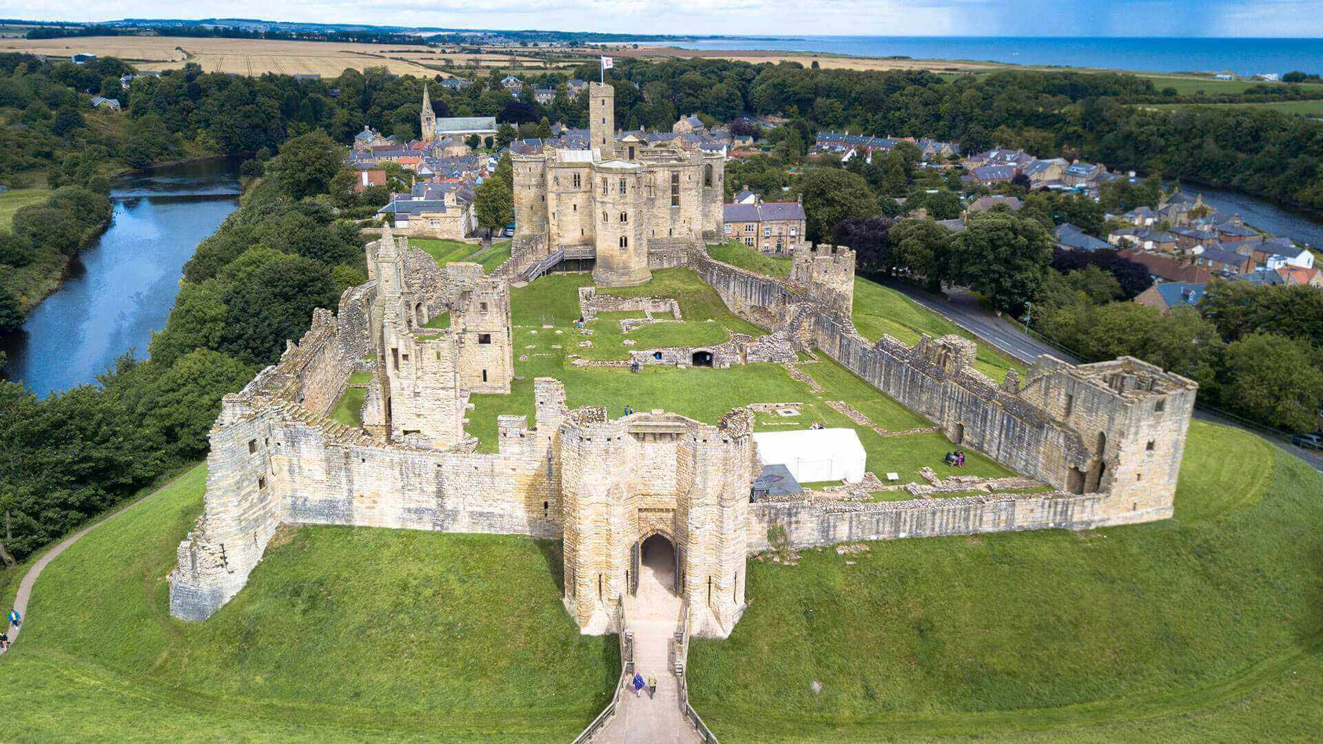
The route follows the stunning Northumberland coast and countryside from Holy Island to Heavenfield and Hadrian’s Wall. You will find castles, coastline, islands, scenic river valleys, hills, attractive villages, forest and farmland - what’s not to love?
The walk is a distance of 97 miles (156 km), but not to worry, if you would like to see some of these fantastic sites and are unable to walk this far, a number of shorter walks have been created for you. Go to the official St Oswald's Way website to explore all of the walks.
St. Oswald’s Way is divided into six sections from north to south:
1. Holy Island to Bamburgh (19 miles / 31 km)
2. Bamburgh to Craster (14 miles / 22 km)
3. Craster to Warkworth (13.5 miles / 21.5 km)
4. Warkworth to Rothbury (18 miles / 29 km)
5. Rothbury to Kirkwhelpington (15 miles / 24 km)
6. Kirkwhelpington to Heavenfield (17.5 miles / 28.5 km)
You can, of course, walk the route in different sections or in the opposite direction.
For more detailed information about routes, services, guidebook and obtaining a certificate for completing the route please visit the official St Oswald's Way website.